Cotswolds National Landscape – part 1 – hills near Berkeley

Here is a quick guide to the Cotswolds National Landscape with the best local spots for walks and views – all are just a short drive or cycle from Berkeley and have nearby parking.
But what is the Cotswolds National Landscape? It is simply the new official name for the Cotswolds Area of Outstanding Natural Beauty (AONB). This rebranding in September 2020 may come as news to many since it went pretty much under the radar.
Berkeley lies outside the Cotswold National Landscape but as the crow flies, it is no more than 3 miles away! The magnificent Cotswold Escarpment dominates the Berkeley Vale skyline to the east.
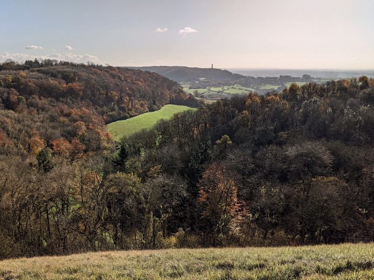
On the other side of the coin, the Cotswold Edge offers great views overlooking the Vale of Berkeley and beyond.
The Cotswolds is a large area stretching beyond Gloucestershire into Oxfordshire, Worcestershire and NE Somerset. The more visited and and typically twee places such as Broadway, Stow-on-the-Wold and Bourton-on-the-Water are mostly a long drive from Berkeley.
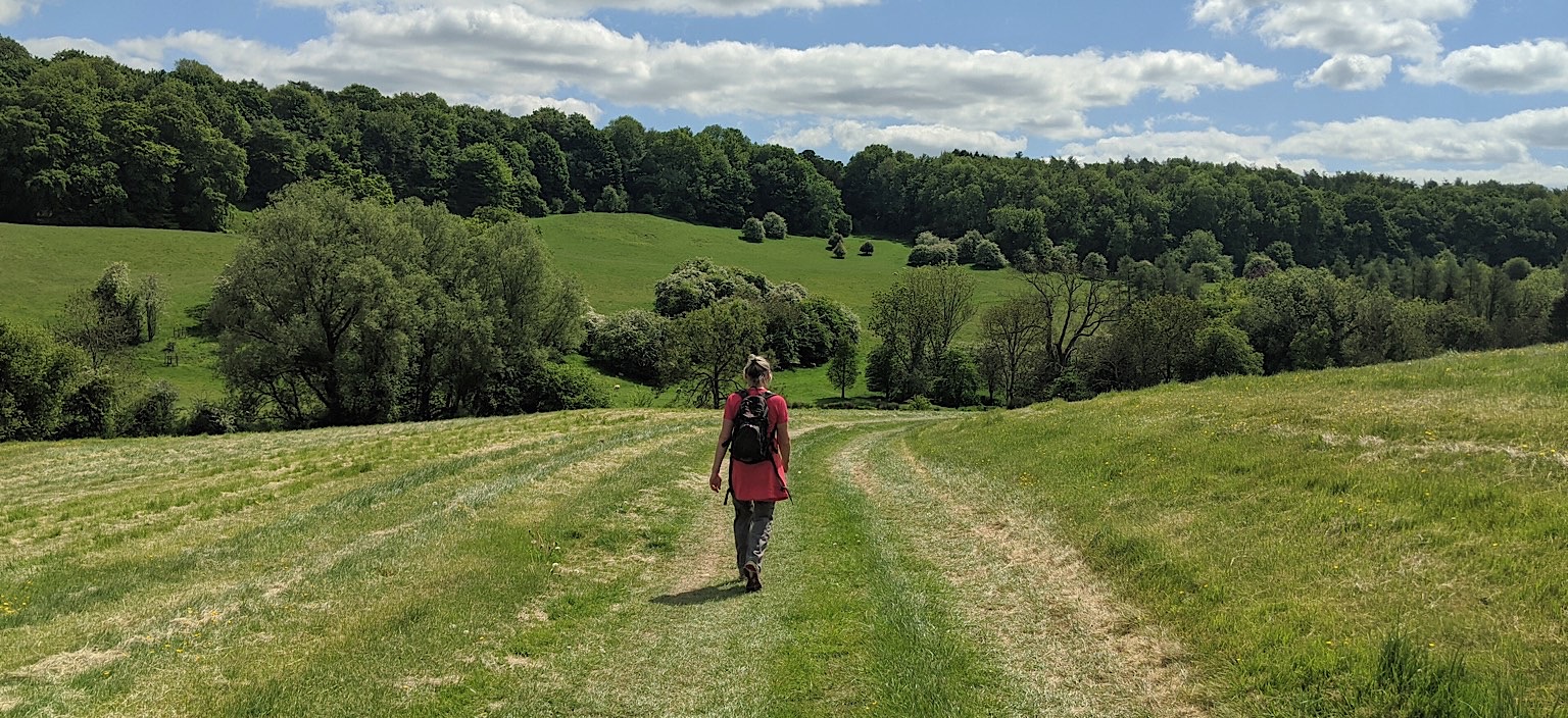
However, having walked the whole 112 miles of the Cotswold Way from Bath to Chipping Campden, my walking partner and I agree that the wooded escarpment offers the best scenery and walking of the Cotswolds. This is especially true of the stretches each side of Dursley, covering Wotton-under-Edge to Stroud. They were also the most strenuous though, with a lot of steep ups and downs!
Why walk along the Cotswold Way?
Footpaths in the Vale of Berkeley with its clay soil and flat flood plain tend to get very muddy for much of the year, often from November until May. This makes rambling difficult and unenjoyable.
The Cotswold Way with its different geography and limestone offers better drainage and some respite from the mud – as well as plenty of hill hiking to strengthen those legs and lungs!
Other advantages are due to the Cotswold Way being a national trail: the route is always very well signposted and the footpaths, styles and kissing gates are better maintained.
You still need a large scale OS map, either paper or the App The positioning feature in the OS phone app is invaluable when you’re in the woods and all you can see are trees!
Stinchcombe Hill for the views
As the crow flies, Stinchcombe Hill is the closest part of the Cotswold Edge to Berkeley and is almost directly to the east of the town.
Stinchcombe Hill offers multiple viewpoints and a circular, relatively easy, hill top walk around the edge of the golf course. There are several well placed benches 🙂
The hills of the Forest of Dean can be clearly seen beyond the Vale and the silvery, river Severn snaking its way to the sea. The Black Mountains and Brecon Beacons of South Wales, the Malvern Hills of Worcestershire, or the Mendips of Somerset and the Severn Bridges are visible from various viewpoints, as is a bird’s eye view of Dursley.
There are footpaths up the hill from Stinchcombe village. Alternatively, there is a car park on the hill by Stinchcombe golf club which is reached by a steep road up from Dursley.
Tyndale Monument on Nibley Knoll - an iconic landmark
This one involves a more strenuous walk!
Perched on the edge of Nibley Knoll, the Tyndale Monument stands king of the castle and is visible from most of the surrounding area and beyond.
It is south east of Berkeley and only a few miles away if you take the steep walk from North Nibley up a sunken lane known as a holloway. This will take you panting to the monument.
The monument can also be reached via a long walk on the Cotswold Way from Wotton-under-edge.
Once you have caught your breath, in normal times the monument’s spiral staircase of 121 steps is open for more climbing to an even higher viewpoint.
The monument was built in 1886 in memory of William Tyndale (1494-1536) who was born in Melksham Court, Stinchcombe and translated the Bible from Latin into English. He was condemned, at the convenience of Henry VIII, to be burned at the stake for heresy.
And now for something completely different…
Breakheart Quarry for nature & Twinberrow Woods for art
Breakheart Quarry is high on the hills above Woodmancote (Dursley) and is reached by the same road as Stinchcombe golf club. Breakheart is not on the Cotswold Way but is a disused quarry which has become a nature preserve run by a community project.
It is not a pure rewilding project as some areas are being actively managed for wildlife (eg some clearing of certain vegetation). There are many self seeded silver birch saplings. Silver birches are naturally good ‘early establishers’ on poor, bare ground and have an important role in breaking up and enriching earth into soil and returning land back to nature.
Given the different environment and habitat, Breakheart Quarry offers the opportunity to see wild flowers which do not grow in the Vale. There is an information board to help you know which plants and butterflies to spot.
There are also many benches on which to enjoy catching the sun, though trees obscure any big views. Best of all, the stony ground makes this a great place for short walks when the ground elsewhere is too soggy. However, the woods nearby can get very muddy in winter.
Just across the road from the quarry are Twinberrow Woods, host to the Dursley Sculpture and Play Trail. This began in 2008 and periodically undergoes maintenance and renewal. Well worth a look in the drier, summer months!
Find out more...
Some useful links:
Dursley Sculpture Trail in Twinberrow Woods
http://valevision.org.uk/?page_id=39
https://www.nationaltrail.co.uk/en_GB/attraction/dursley-sculpture-and-play-trail
Breakheart Quarry Nature Preserve & Community Project
http://www.breakheart.org.uk
Tyndale Monument, North Nibley
https://www.northnibley.org.uk/monument.php
Cotswold Way
https://www.nationaltrail.co.uk/en_GB/trails/cotswold-way
Cotswolds National Landscape
https://www.cotswoldsaonb.org.uk/our-landscape
Cotswolds visitor info
https://www.cotswolds.info
https://www.cotswolds.com


